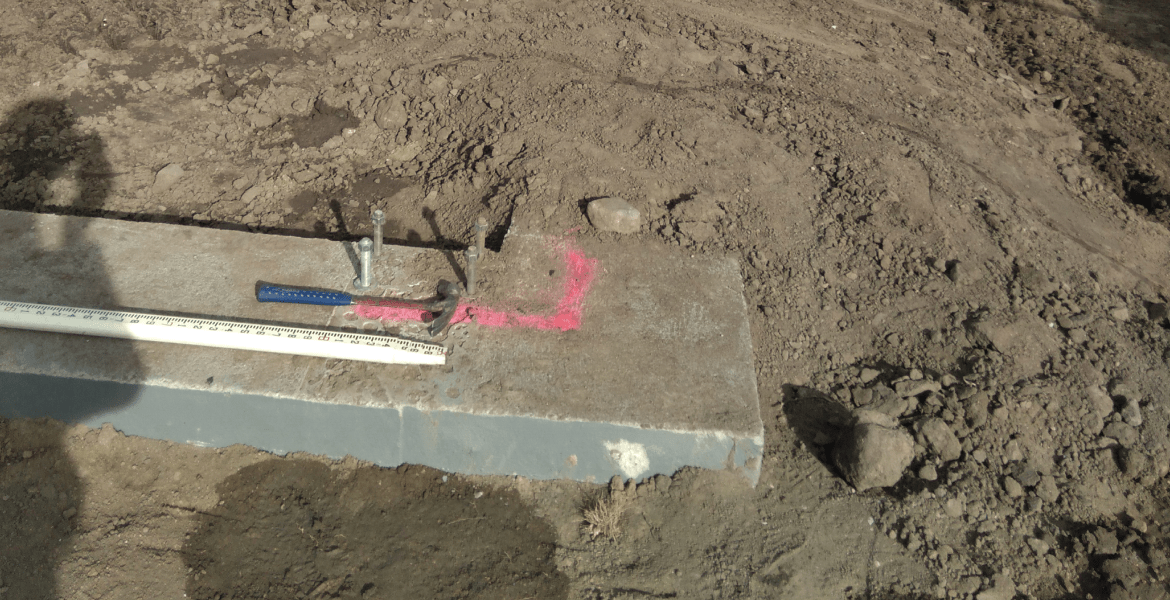
A utility mapping survey plays a crucial role in identifying and documenting the exact locations of underground utilities before any form of land development or construction begins. I take pride in delivering detailed and accurate results that help minimize risks, prevent costly damages, and support informed decision-making during project planning. Using advanced equipment and precise data collection methods, I ensure that every underground asset is correctly marked and recorded. My process includes identifying all visible and buried utilities while cross-referencing existing records to guarantee reliable mapping data. I focus on accuracy, safety, and efficiency to deliver results that save time and resources for every client. Every project is handled with care, using dependable technology and thorough verification processes. Along with this, I also provide topographic survey services that capture the natural and man-made features of the land, allowing engineers, architects, and contractors to understand elevation changes, slopes, and property boundaries. These surveys form the foundation for effective site design, drainage planning, and infrastructure layout. Additionally, I perform FEMA survey work to determine accurate flood elevations and ensure properties meet floodplain compliance standards. This service is essential for both property owners and developers looking to meet local and federal regulations. My goal is to provide a clear and dependable visual of subsurface and surface features that support safe and compliant development. Contact me today to schedule a detailed survey and receive precise mapping data you can build upon with confidence.