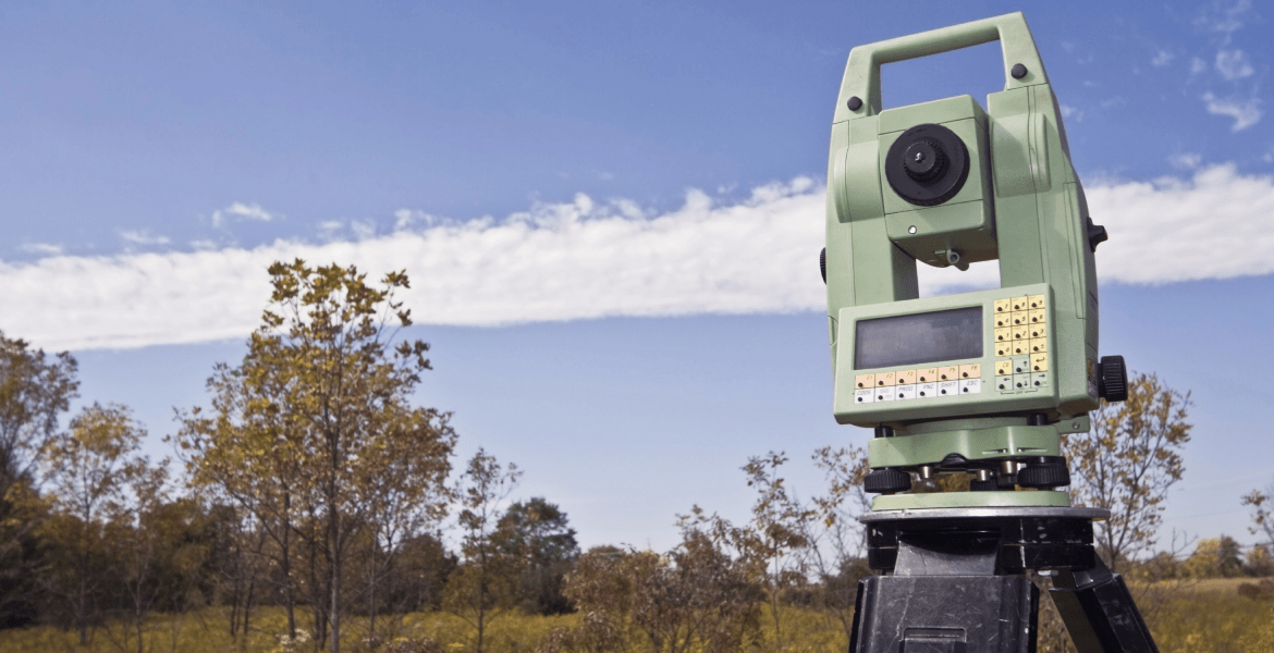
Eagle Sight Land Surveying specializes in providing accurate and detailed topographic survey services that form the foundation for successful site design and development. A topographic survey maps the natural and man-made features of a property, including elevations, contours, trees, buildings, utilities, and drainage patterns. Using advanced GPS and laser technology, I capture precise data that architects, engineers, and contractors rely on to plan grading, drainage, and construction with confidence. Every survey I conduct is tailored to meet the specific needs of your project, whether it’s for new construction, land development, or site improvements. As a trusted land surveyor, I combine my expertise in boundary surveys and mapping with a deep understanding of terrain analysis to deliver clear, easy-to-read drawings that support efficient planning and compliance with local regulations. My topographic surveys help prevent costly design errors, ensure accurate earthwork calculations, and provide the information needed for informed decision-making throughout your project. With a commitment to precision, reliability, and professionalism, I make sure every survey delivers the clarity and confidence you need to move forward successfully.